Introduction
Modern surveying and mapping rely heavily on advanced satellite positioning systems to achieve precise and reliable results. One of the most significant advancements in this field is the use of RTK-enabled devices. How a GNSS rtk receiver Improves Accuracy in Land Mapping is a key topic for surveyors, engineers, and geospatial professionals seeking centimeter-level precision in fieldwork. By combining satellite data with real-time corrections, these systems have transformed traditional land mapping methods.
Understanding GNSS RTK Technology
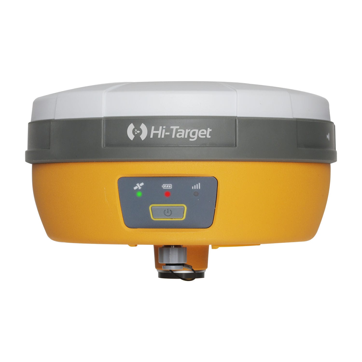
A GNSS RTK receiver is a high-precision positioning tool that uses signals from the Global Navigation Satellite System and enhances them through real-time corrections. RTK stands for Real-Time Kinematic, a method that significantly reduces positioning errors by using a base station and a rover unit.
In practice, this technology allows surveyors to achieve centimeter-level accuracy, which is essential for construction planning, boundary surveys, and infrastructure development.
How RTK Improves Accuracy in Land Mapping
How a GNSS RTK Receiver Improves Accuracy in Land Mapping can be understood through its ability to correct satellite signal errors in real time. The base station calculates its exact position and sends correction data to the rover receiver, eliminating atmospheric delays, satellite orbit errors, and signal noise.
This continuous correction process ensures that surveyors receive highly accurate positioning data even in challenging environments such as urban areas or uneven terrain. As a result, mapping data becomes more reliable and consistent across large projects.
Applications in Modern Surveying
How a GNSS RTK Receiver Improves Accuracy in Land Mapping is especially evident in real-world applications such as construction layout, road design, and agricultural planning. High-precision tools from companies like Trimble Inc., Leica Geosystems, and Topcon have made RTK systems widely accessible to professionals across industries.
These devices are also used in GIS data collection, mining surveys, and environmental monitoring, where accuracy is critical for decision-making and long-term planning.
Key Benefits of GNSS RTK Receivers
The advantages of using RTK technology in land mapping are substantial:
- High precision: Achieves centimeter-level accuracy
- Real-time results: Eliminates the need for post-processing in many cases
- Efficiency: Reduces time spent in field surveys
- Reliability: Minimizes errors caused by environmental interference
- Versatility: Suitable for multiple industries and terrains
These benefits make RTK systems a preferred choice for modern surveyors aiming for speed and accuracy in their projects.
Conclusion
In today’s geospatial industry, precision is everything. How a GNSS RTK Receiver Improves Accuracy in Land Mapping highlights the critical role this technology plays in delivering fast, reliable, and highly accurate spatial data. As surveying demands continue to grow, RTK-enabled GNSS systems will remain essential tools for achieving professional-grade mapping results.